Did you know? A Super El Niño could bring 40°C heat to Malaysia in early 2027, possibly breaking the Chuping record
MetMalaysia expects temperatures could top 40°C between January and May 2027. What a Super El Niño is, the areas most at risk, and what the government wants us to prepare.
In this article
Yesterday we covered the Northeast Monsoon that starts on 27 October. Today, the sequel: once the rainy season ends, Malaysia could face its hottest weather on record.
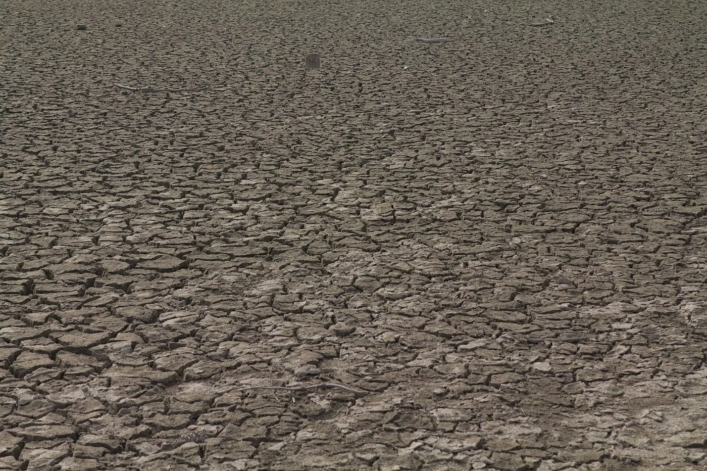
Did you know? MetMalaysia expects temperatures in some areas to reach 40°C, and even exceed 41°C, between January and May 2027. The cause: a Super El Niño.
What is El Niño, and why "Super"?
El Niño happens when the sea surface in the central and eastern Pacific Ocean becomes warmer than usual. That shifts wind and rainfall patterns around the world. For Malaysia, it usually means less rain and more heat.
A "Super" or "very strong" event is when that ocean warming goes more than 2.0°C above normal.
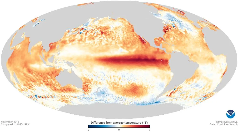
According to NOAA (the US weather agency) on 7 October:
- In September 2026, sea temperatures in the key Pacific monitoring region were 2.1°C above normal, up from 1.7°C in August.
- The chance of this El Niño becoming "very strong" is put at 100%.
- The chance of it becoming the strongest since 1950 is as high as 83% for the October to December period.
What MetMalaysia says
MetMalaysia Director-General Dr Mohd Hisham Mohd Anip said the likelihood of a Super El Niño is "approaching 100 per cent".
On 13 October, he gave a clearer picture:
- The country's maximum temperature could exceed 41°C.
- The El Niño index is expected to exceed 2.5, compared with about 2.3 in the 1997/98 and 2015/16 episodes.
- Dry spells of up to 77 consecutive days without rain could happen again, especially in the northern Peninsula.
- During a strong El Niño, daily maximum temperatures can rise by up to 0.7°C.
Did you know? Malaysia's highest recorded temperature is 40.1°C at Chuping, Perlis, on 9 April 1998, during the 1997/98 Super El Niño. The 2015/16 episode recorded 39.3°C at Batu Embun, Jerantut, Pahang, on 10 April 2016.

Which areas are most at risk?
According to MetMalaysia:
- The northern Peninsula (Perlis, Kedah and surrounding areas)
- Inland areas of the Peninsula
- Inland Sabah and Sarawak
On 22 October, Natural Resources and Environmental Sustainability Minister Datuk Seri Arthur Joseph Kurup said this Northeast Monsoon is expected to bring less rain than usual, especially in the northern Peninsula, Perak and Sabah. Based on the 2015/16 episode, rainfall could drop by up to 30% in the Peninsula and 45% in Sabah. This El Niño is expected to last until mid-2027.
Three levels of heat warning
MetMalaysia uses three levels of hot weather warning:
| Level | Maximum temperature |
|---|---|
| Level 1 | 35°C and above |
| Level 2 | 37°C and above |
| Level 3 | 40°C and above |
MetMalaysia is also working with the Health Ministry on a Heat Index to warn the public about health risks from hot weather.
Water, electricity and haze

Heat isn't the only concern:
- Water: Dr Mohd Hisham said dams must be full before next year begins, making the most of the current Northeast Monsoon rain. The Deputy Prime Minister has also ordered early preparations for water supply.
- Electricity: energy use is expected to rise, and the grid needs to be ready to avoid disruptions.
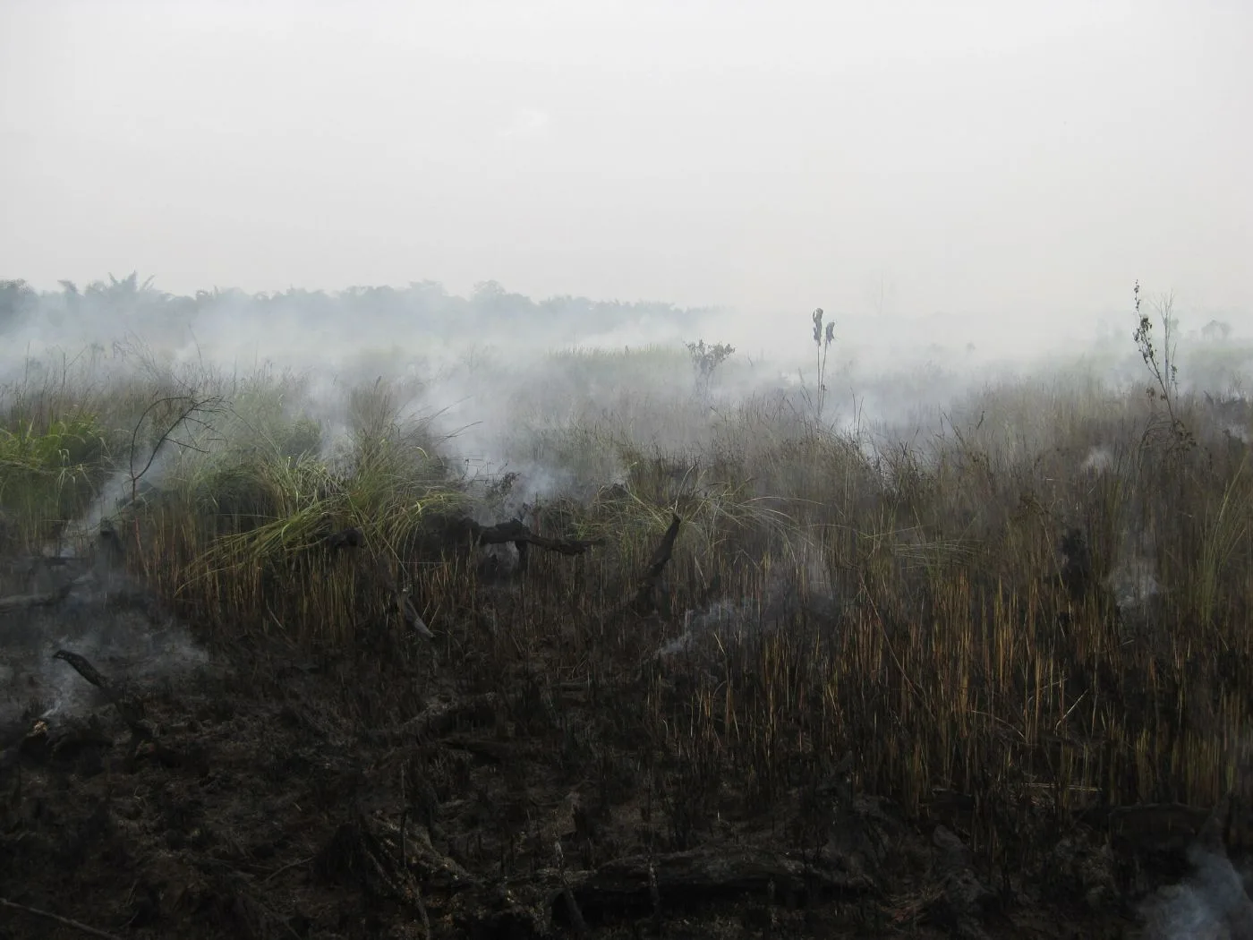
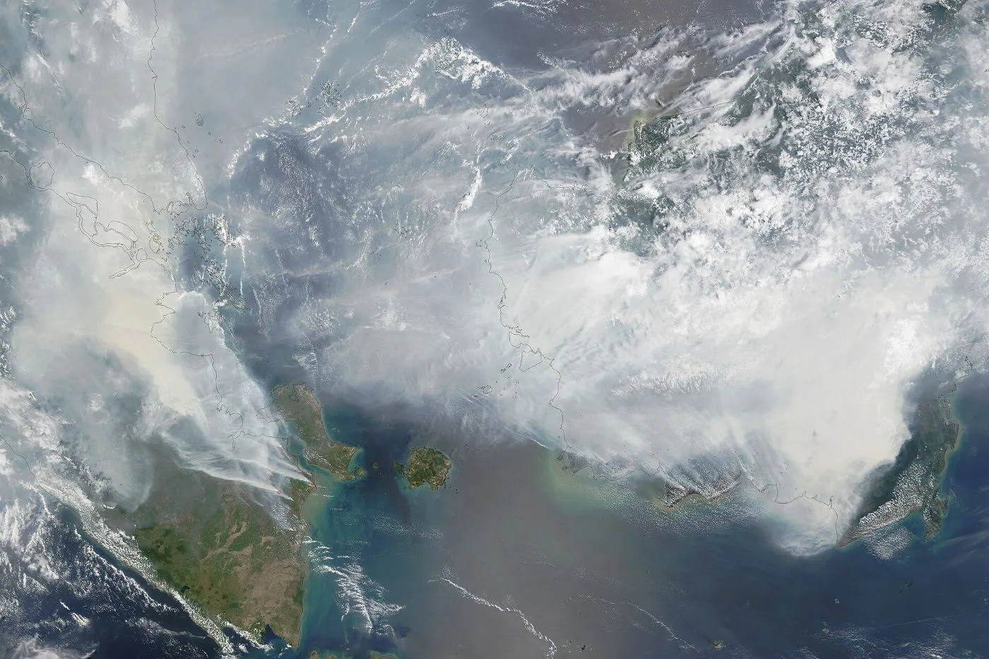
- Fires and haze: dry weather raises the risk of forest and peatland fires. From 3 August to 16 October alone, the Department of Environment took 3,433 enforcement actions following 2,361 complaints about open burning.
What can we do now?
Some general habits worth starting:
- Save water now, don't wait for rationing.
- Check API readings on the APIMS portal before outdoor activities, as the government advises.
- When it's hot, drink enough water, cut back on strenuous outdoor activity around midday, and look out for those most at risk: children, the elderly and outdoor workers.
- Don't burn rubbish or brush in the open.
- Follow MetMalaysia's hot weather warnings in the myCuaca app.
Which state are you in? Already feeling hotter than usual?
Sources
- The Vibes, Super El Niño could drive Malaysia temperatures to 40°C in 2027 (8 Sept 2026)
- Malay Mail, MetMalaysia: Malaysia could see temperatures hit 40°C from January to May 2027 (8 Sept 2026)
- Media Selangor (Bernama), Super El Nino: Suhu maksimum dijangka melebihi 41°C tahun depan (13 Oct 2026)
- Utusan Malaysia, Super El Nino ancam negara hingga 2027 (22 Oct 2026)
- NOAA Climate.gov, Highlights from NOAA's October 2026 El Niño forecast (7 Oct 2026)